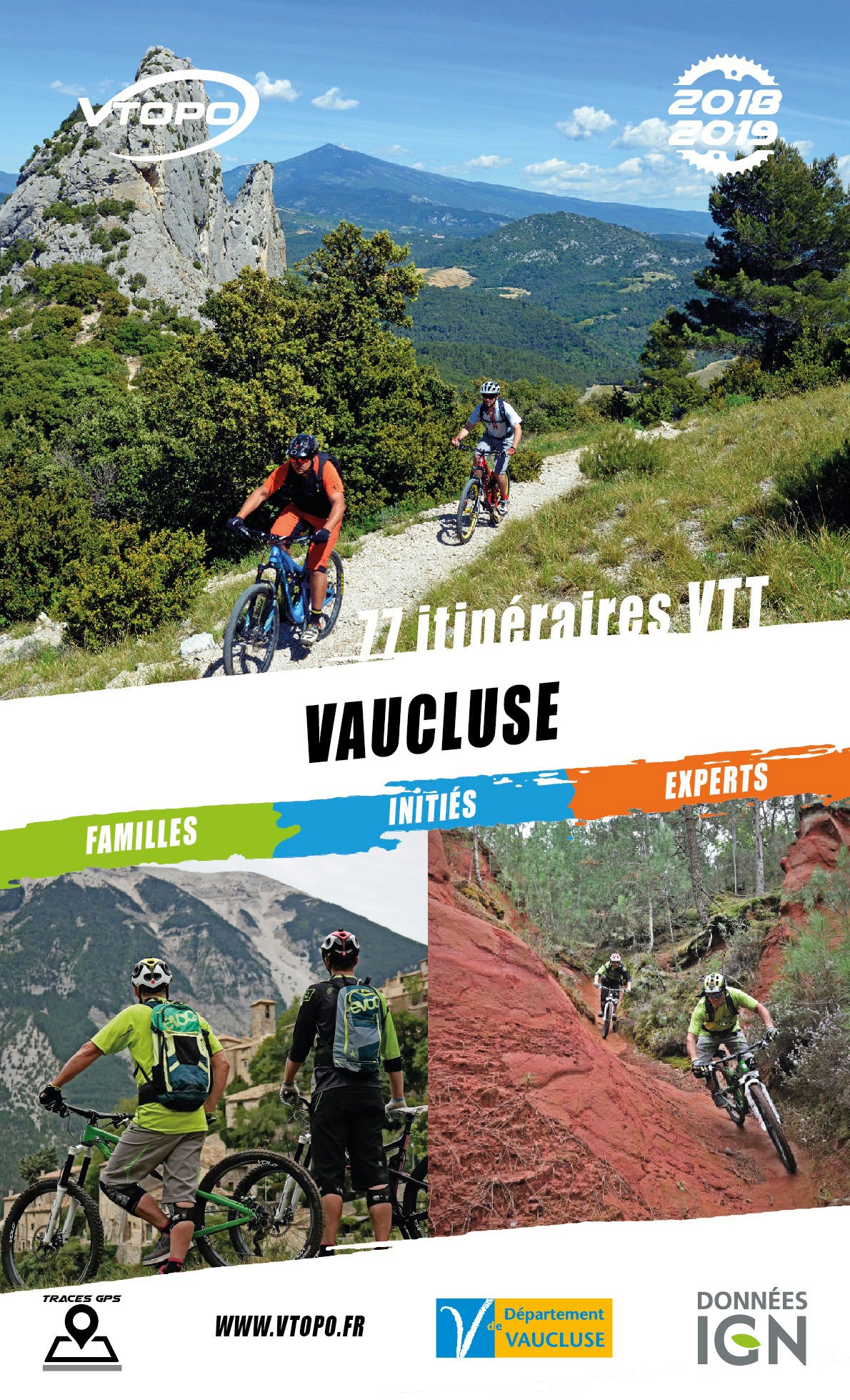


VTOPO MTB Vaucluse - 3rd edition
Choisissez
Également disponible dans VTOPO Premium !
- Auf Lager
- Réédition : VTOPO MTB Vaucluse - 4th edition
- Itinéraires adaptés à la pratique du VTTAE (VTT à Assistance Éléctrique)
- Rhône Valley, Uchaux massif, Montmirail lace, Mont Ventoux, Comtat, Land of Sault, Monts-de-Vaucluse, Little Luberon, Greater Luberon und Grand Tours
This VTOPO Vaucluse presents 77 mountain bike routes for everyone; family walks, more technical hikes, but also real enduro sessions and beautiful itineraries of 2 to 3 days.