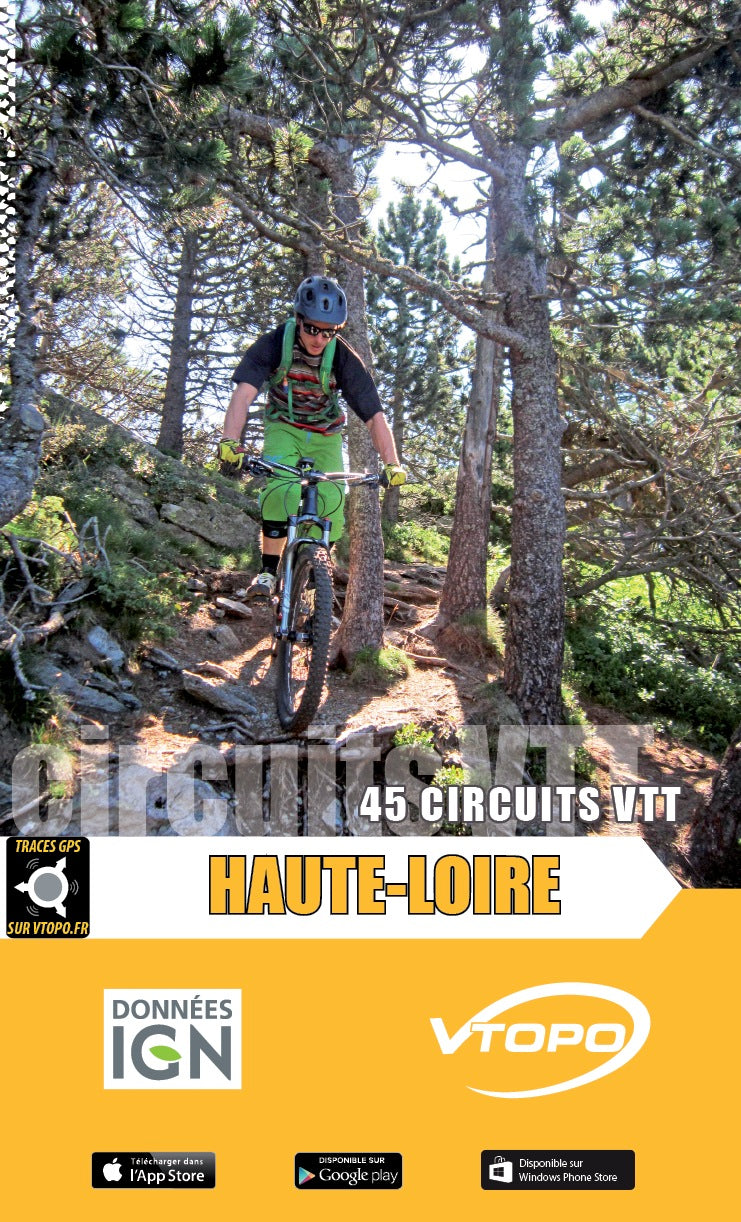


VTOPO MTB Haute-Loire
Choisissez
Itinéraires également disponible dans VTOPO Premium !
- Auf Lager
- Itinéraires adaptés à la pratique du VTTAE (VTT à Assistance Éléctrique)
By browsing this VTOPO, you will discover 45 mountain bike circuits for everyone, from family outings to more technical routes to discover the potential of the Haute-Loire department. Included, a “Roaming” section to discover this territory in another way!
With clear and detailed data, precise maps, useful information and quality photos, the VTOPO becomes the essential reference to enjoy 100% of these massifs. Finally, all circuits are evaluated using a relevant rating system ranging from V1 to V6.