


VTOPO MTB Roaming Chemins du Soleil Sisteron Nice
Choisissez
Également disponible dans VTOPO Premium !
- Auf Lager
- Itinéraires adaptés à la pratique du VTTAE (VTT à Assistance Éléctrique)
- Papier écologique, label Imprim’Vert
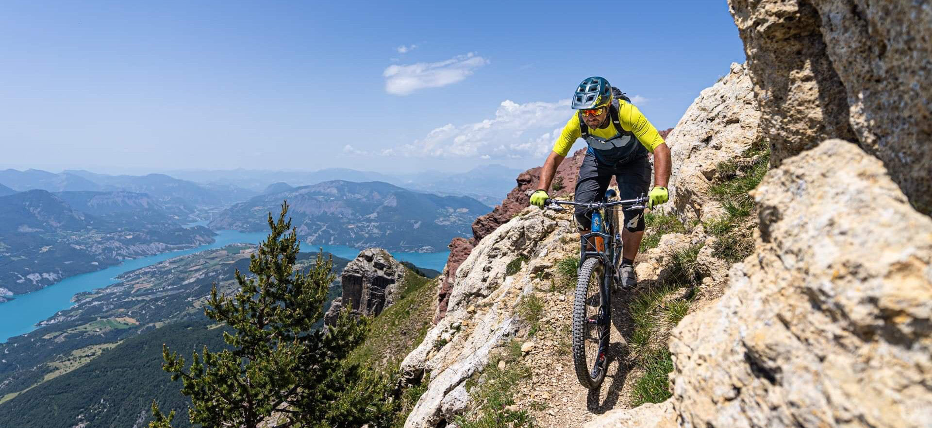
The latest path of the Chemins du Soleil, here is the Sisteron - NIce route. 19 sections of the Durance to the beaches of the Mediterranean with "Mountain" options for lovers of wild trails... With IGN maps, practical information, accommodation... This is the official guide of the Chemins du Soleil.
- Detailed roaming Sisteron Nice with IGN maps
- A practical information booklet: region, point of view, services, heritage...