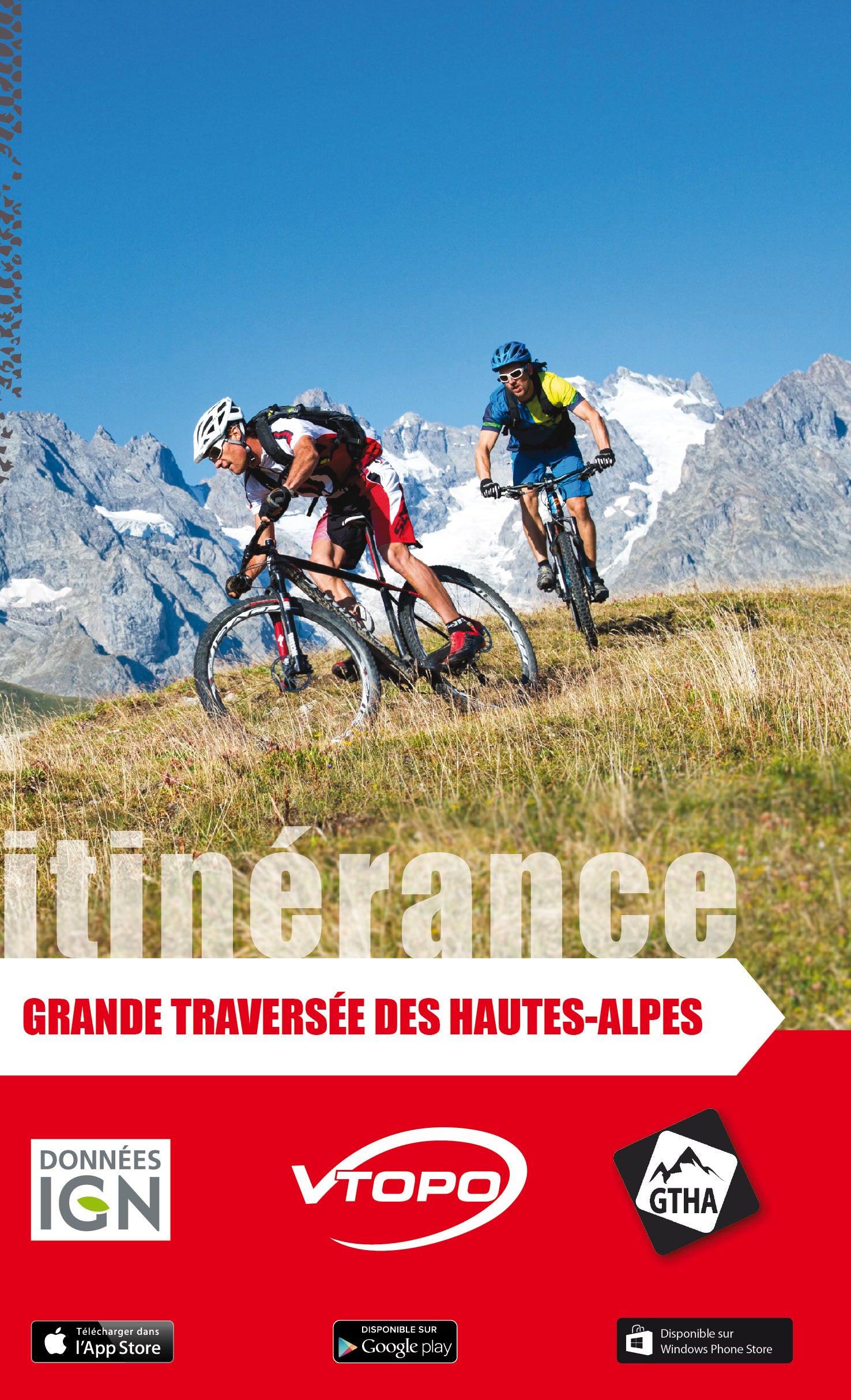


VTOPO MTB Roaming Great Crossing of the Hautes Alpes
Choisissez
Également disponible dans VTOPO Premium !
- Auf Lager
By browsing this VTOPO, you will discover the Grande Traversée des Hautes Alpes and its variants, taking the most beautiful paths and crossing the typical landscapes of the Hautes Alpes. These itineraries are labeled Grandes Traversées VTT by the French Cycling Federation.
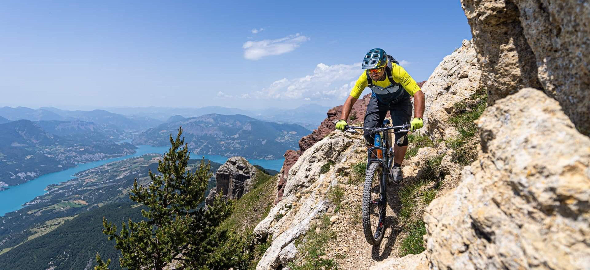
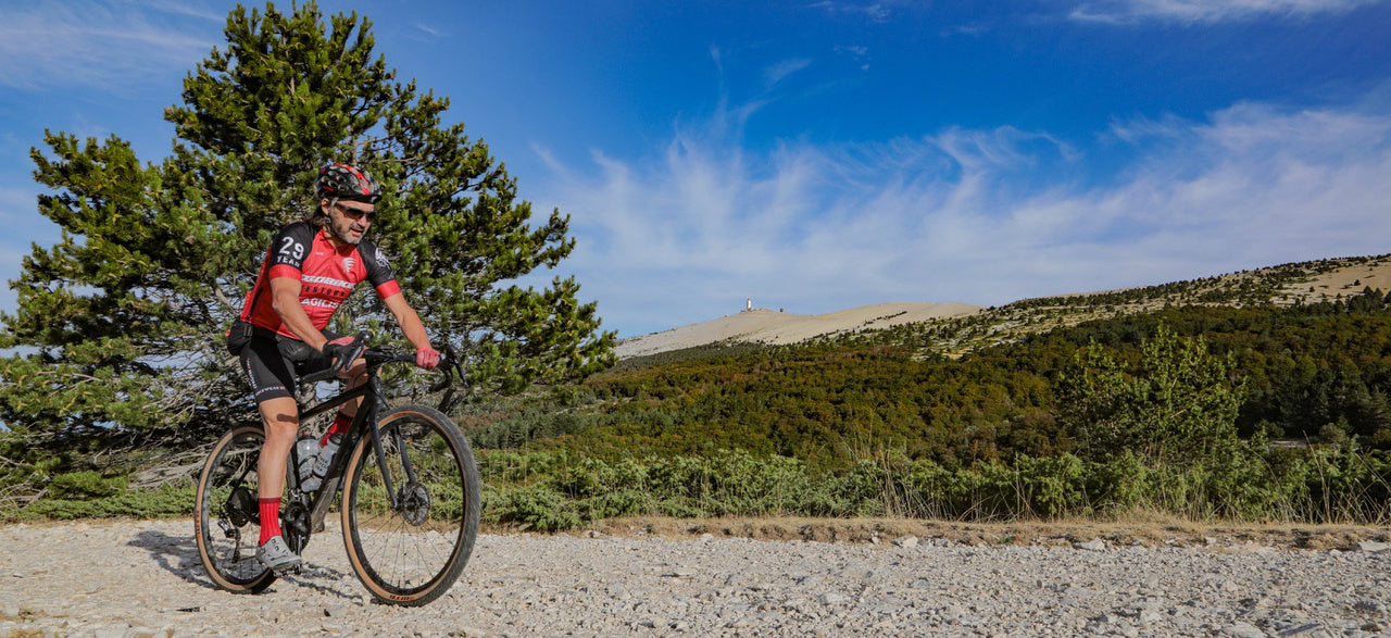
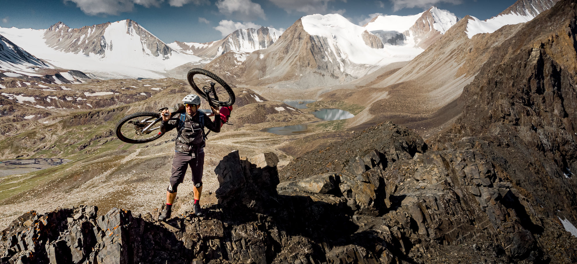
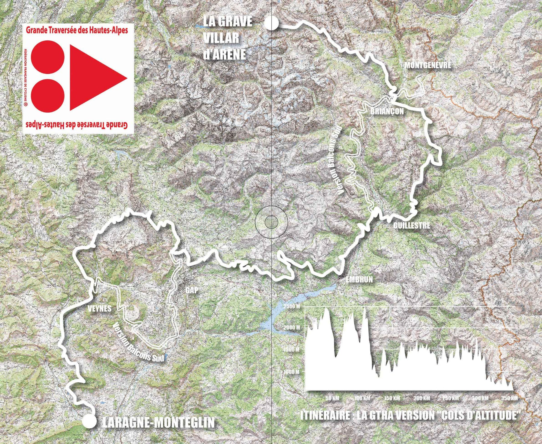
From La Grave - Villar d'Arène to Laragne, from the Meije glaciers to the lavender fields, welcome to the Grande Traversée des Hautes-Alpes à VTT©, the HIGHEST long crossing in France at medium altitude. Along its 350 km per variant, this sporty itinerary will offer you in 7 days an incomparable variety of landscapes and thrills.
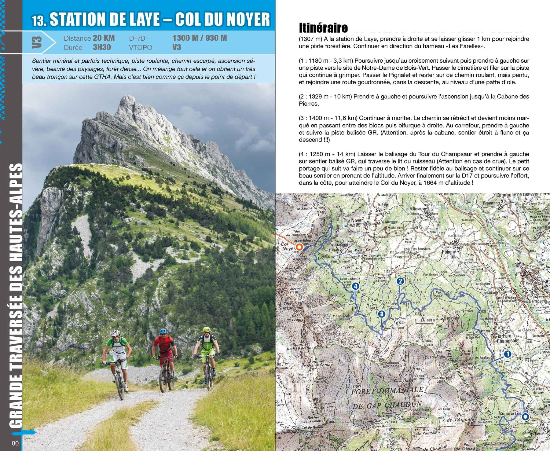
In this topoguide, each section includes clear and detailed data, IGN maps, useful information, many quality photos, thematic texts and a difficulty rating system ranging from V1 to V6.